
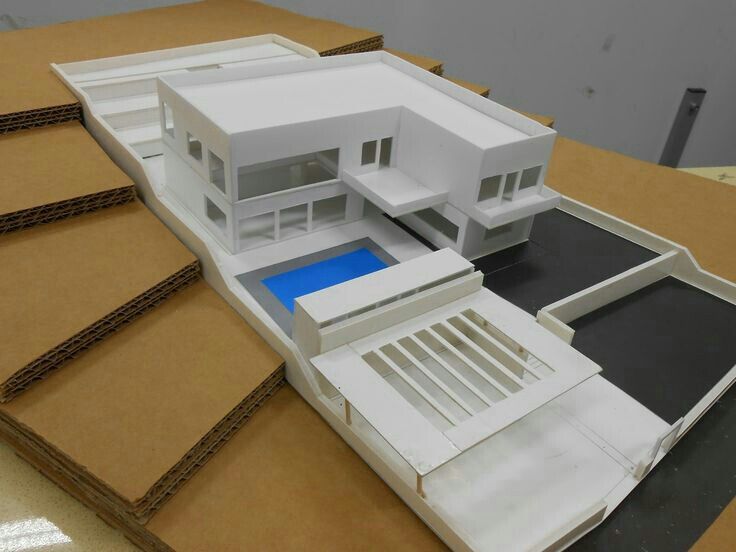
A topographic model is a representation of natural terrain based on a hydraulic study. Often, smaller scales like 1:1000 are used to cover a larger area.
Topographic or hydraulic models serve to calculate water flow and terrain contours of a curved region to validate the construction of vineyards, houses, bridges, and farms. Models help simulate natural disasters and illustrate the environmental integration of the real estate project.
Manufacturing Steps
The IGN map is deciphered and a larger copy is created. The model maker transfers the contour lines onto tracing paper. Then, the contour lines are transferred onto a cardboard sheet using carbon paper. Each contour line is cut out on the corresponding cardboard sheets and finally, they are glued onto a solid base starting with the lowest contour lines.
The topographic model aims to highlight the elevation levels of the terrain, and the viewer can discern this through the vector lines. The terrain could be a hill, a watershed, or even a mountain. Tall objects sometimes require an investigation of the subsoil.
Use of Geographic Models
Topographic models, like geographic models, provide architects and officials with insights into the safety of a natural area and offer ideas to solve residential issues. A geographic study can encompass soil types, flood levels, and terrain depth.
Any type of study that focuses on the suitability of an area for construction aims to predict residential, traffic, and agricultural conditions. With topographic models, a relocation plan can be formulated.


