
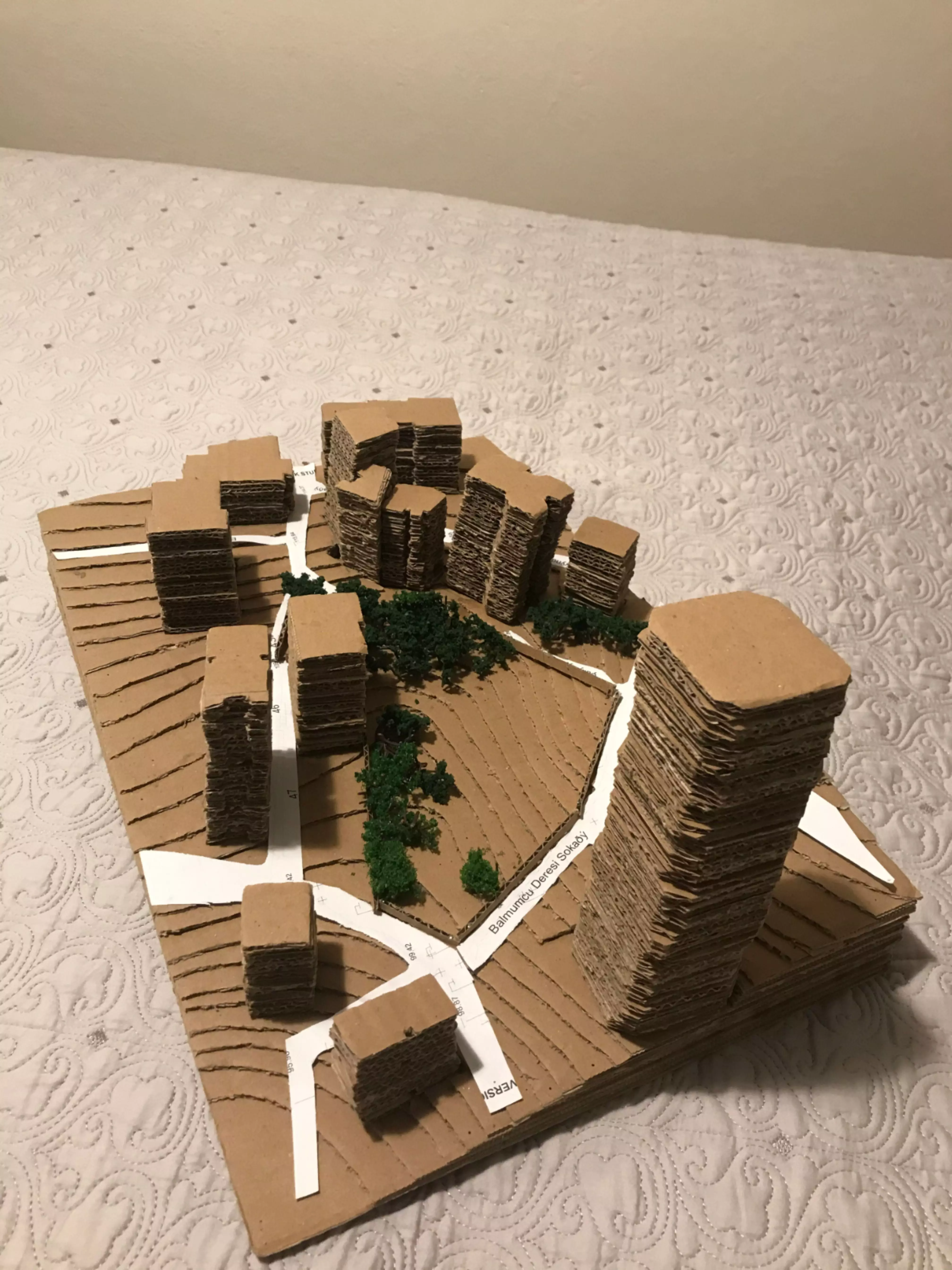
Materials and elevations of any kind on the surface of a piece of land are translated into two-dimensional topographic maps using contour lines. Topography models are usually used for presentation purposes. In these topographic models, the hilly or flat areas, structural areas, natural or artificial water surfaces, and plant species within a selected area are depicted with realistic materials. Although preferred scales for topography models vary depending on the size of the area, they are generally 1/200, 1/500, 1/1000, or larger.


